Project Overview
 As visitors explore Yellowstone, they may not realize they are traveling on one of the world’s largest active volcanoes— an astonishing 30 by 45 miles in size. Heat from this Super-volcano forms the most dynamic geothermal system on Earth with more than 10,000 hydrothermal features. Hot springs, gushing geysers (more than 500), bubbling mud pots, steam vents, and other geological wonders found within Yellowstone’s boundaries played a key role in the creation of the world’s first national park.
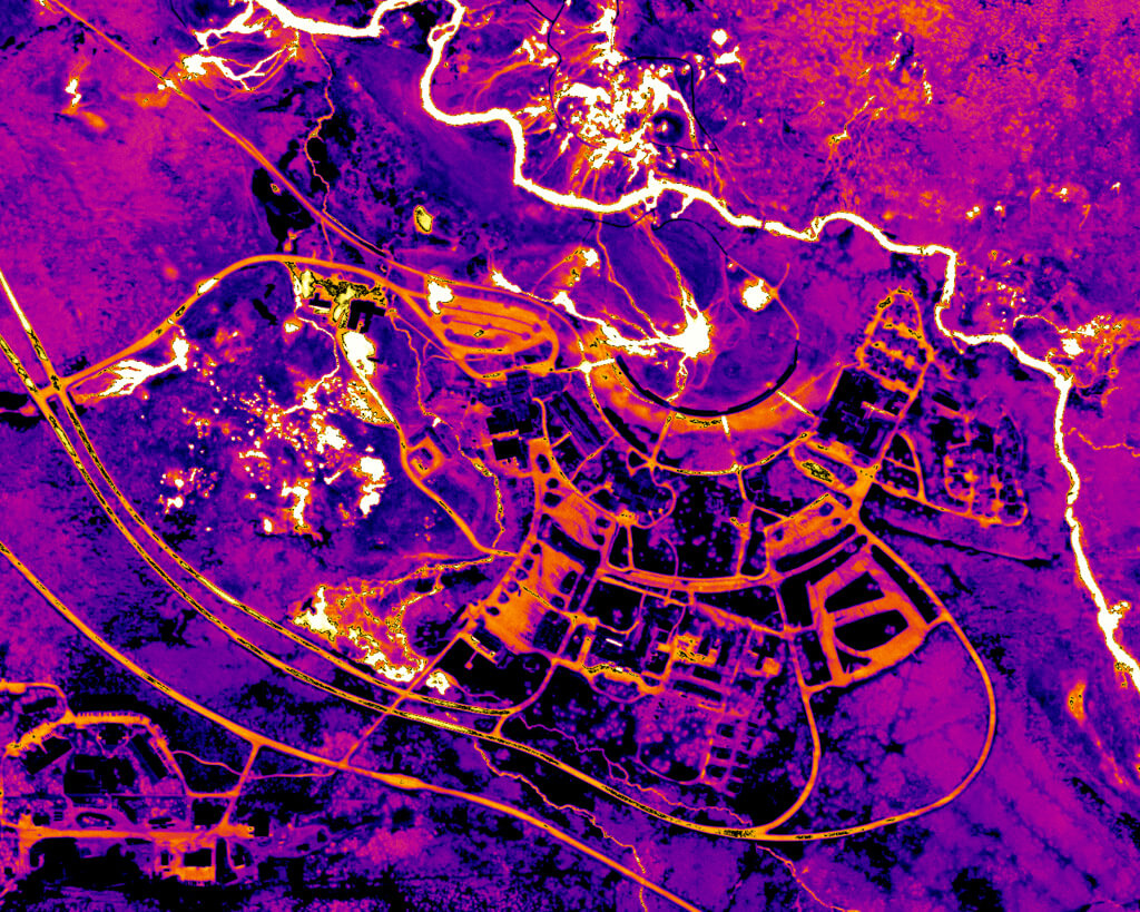
The park’s Geology Program plans to study these geothermal systems using infrared (IR) image data which is recognized as the most effective way to capture and monitor changes in hydrothermal areas. IR imagery is captured by flying fixed-winged aircraft over hydrothermal areas twice a year, with visitor-sensitive sites being flown at greater frequencies. The IR images reveal any notable changes for further study by park geologists.
A similar study in Yellowstone ran from 2005-2015. This new program will utilize more modern thermal imaging technology and flights will occur more frequently allowing geologists to quickly analyze and compare data captured at different times (from 10+ years ago and current data that will be captured every 6 months or more). The collection, processing, analysis, and dissemination of this data is a combined effort through the Yellowstone Volcano Observatory (YVO), a consortium of nine state and federal agencies including Yellowstone National Park, USGS, and Montana State University.