
Blog

Jan 05
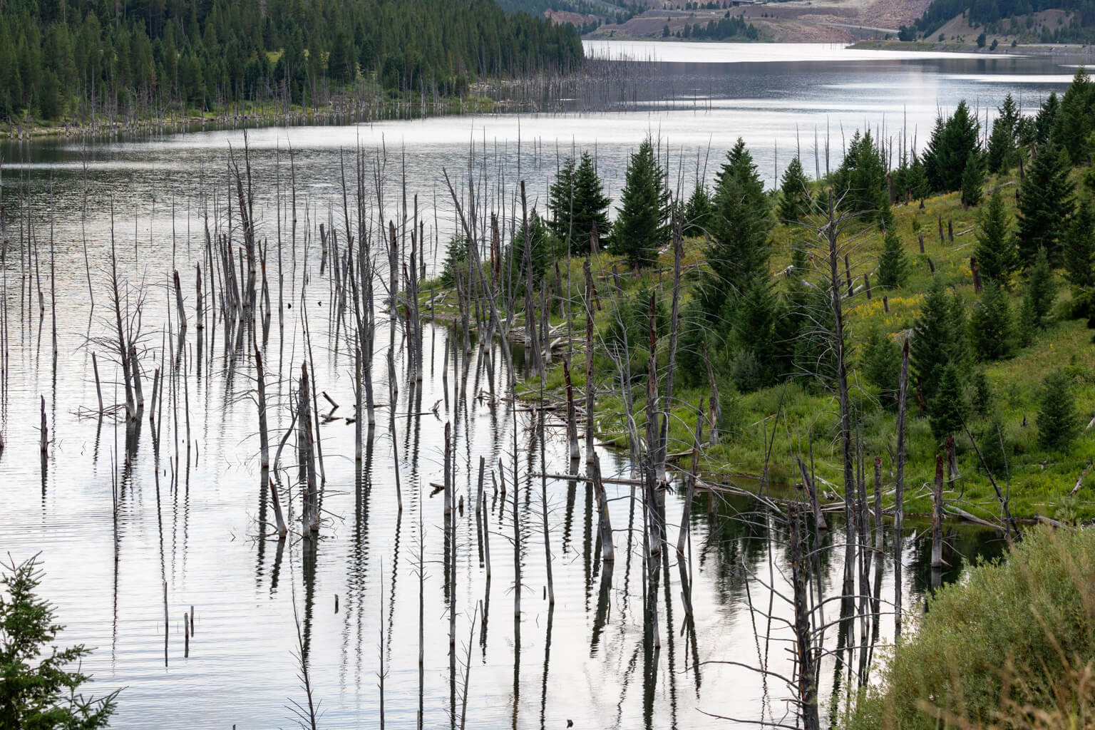
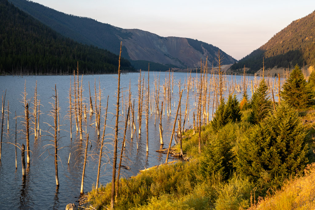
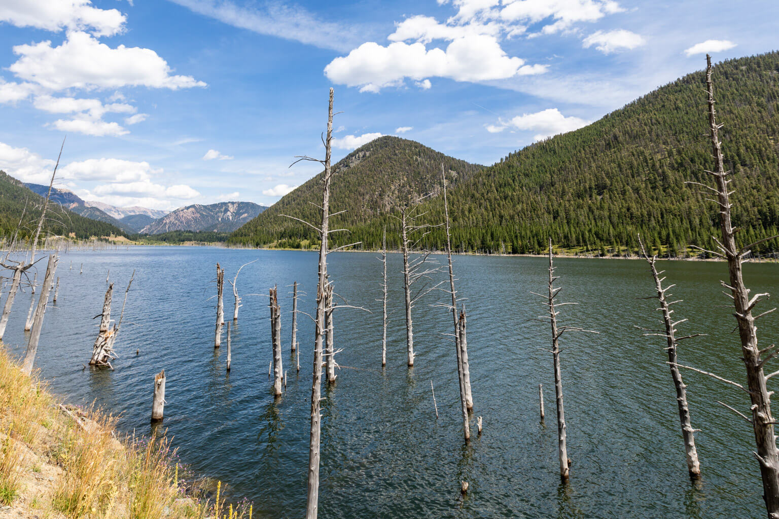
Quake Lake Trees, from Overlook

Yellowstone Side Trip: Earthquake Lake Visitor Center

Bozeman newspaper article - Quake Hits HebgenThis August marks the 66th anniversary of the most famous earthquake in the greater Yellowstone area, the strongest ever recorded in the Rocky Mountains, which tragically took 28 lives.

On August 17, 1959, the Hebgen Lake Earthquake, measuring 7.5 on the Richter scale, triggered a massive landslide that moved at 100 miles per hour. In less than 1 minute, more than 80 million tons of rock crashed into a narrow canyon, blocking the Madison River and forming Earthquake Lake.

The U.S. Forest Service’s Earthquake Lake Visitor Center, located 27 miles northwest of Yellowstone’s West Entrance, tells the story of that infamous event. It not only features excellent exhibits, but visitors can also easily see the effects of the earthquake surrounding them: the visitor center itself sits atop the landslide debris and overlooks the lake formed by the quake.
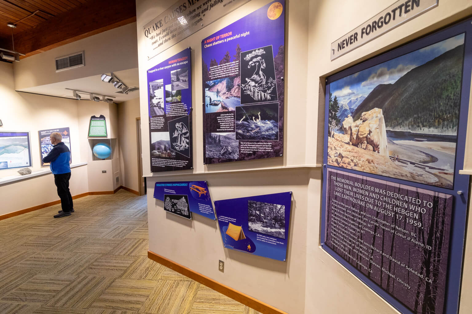
Quake Lake Visitor CenterThe visitor center’s exhibits illustrate the magnitude of an earthquake’s power and the devastation it leaves behind. They include displays on earthquake science and a kid-friendly, interactive 3-D model of the Earthquake Lake area.

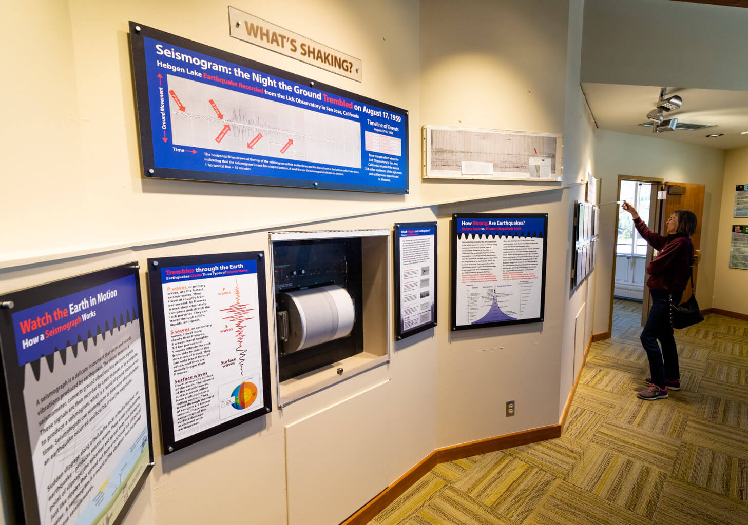
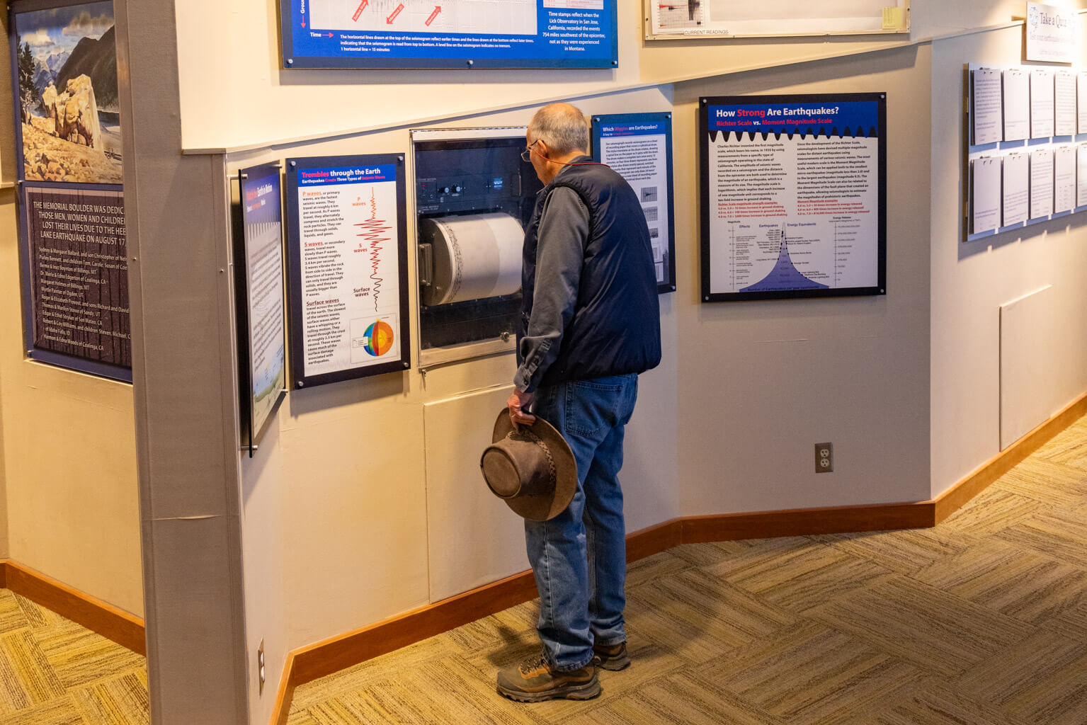
Be sure to check out the working seismograph that monitors earthquakes worldwide. If you’re lucky, you’ll even experience how an earthquake registers on the Richter scale, in real time, whether it is close by or far away. Greater Yellowstone is one of the most seismically active areas in the United States, with a combination of tectonic and volcanic activity resulting in 1,000 to 3,000 earthquakes each year. Most of these quakes are too small to be felt.

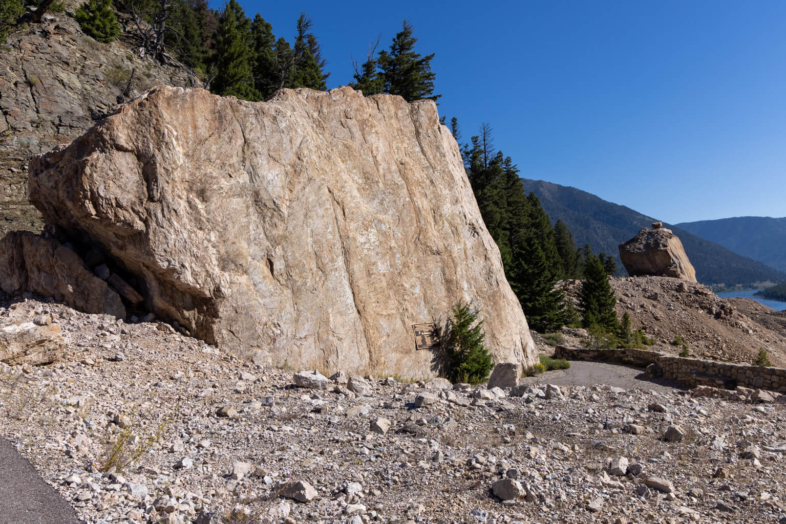
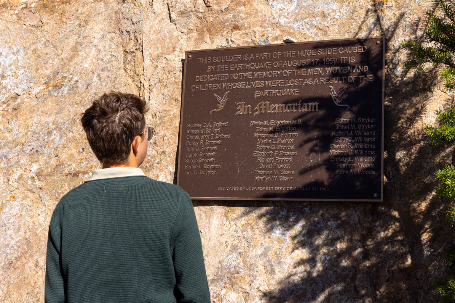
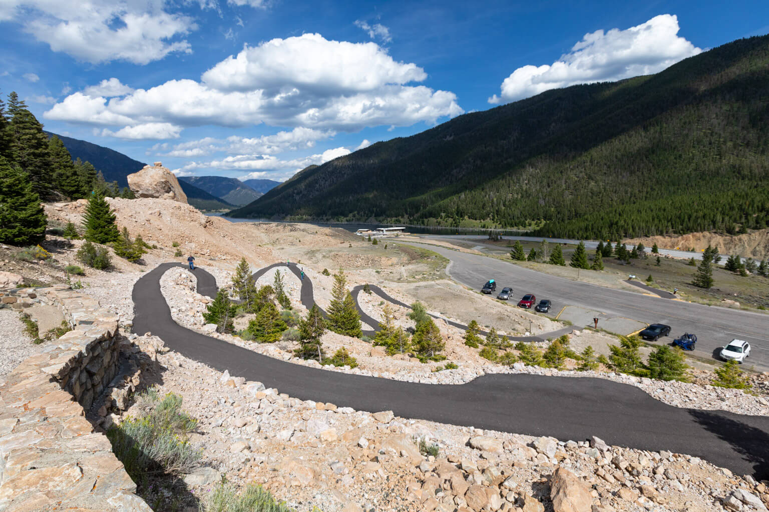
Also within the visitor center, a Yellowstone Forever Park Store, operated in partnership with the U.S. Forest Service, offers a variety of educational items. Outside, a walking path leads to the Memorial Boulder that honors the 28 victims of the quake.

When you arrive, pick up a Visitor Guide to the Earthquake Lake Geologic Area and check the upcoming times for scheduled movies and talks.

The Earthquake Lake Visitor Center is open daily from late May through mid-September, and admission is free. Check the Custer Gallatin National Forest website for exact dates and hours of operation and directions.
Video: A Force of Nature

Current Images

  • A serene lake with tall, bare tree trunks sticking out of the water, surrounded by forested hills and mountains under a partly cloudy blue sky.
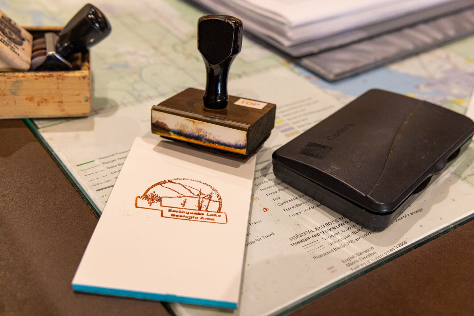
  • A rubber stamp, ink pad, and a stamped notepad reading “EstaciĂłn Lago LĂĄcar, Catatolico Ana” sit on a map with loose pages in the background.
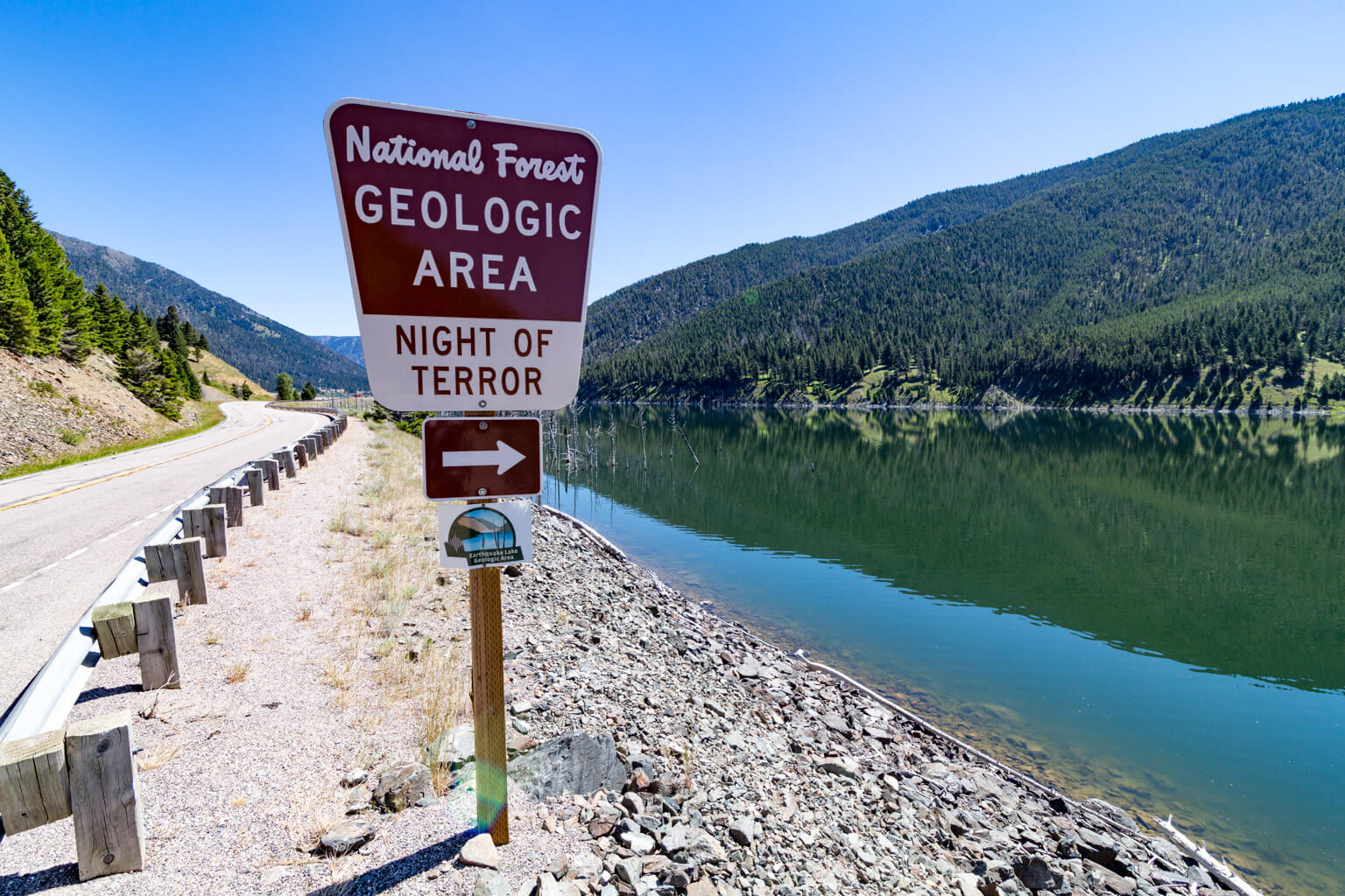
  • A sign by a lakeside road reads National Forest Geologic Area Night of Terror with an arrow pointing left. Mountains and trees are reflected in the calm water under a clear blue sky.
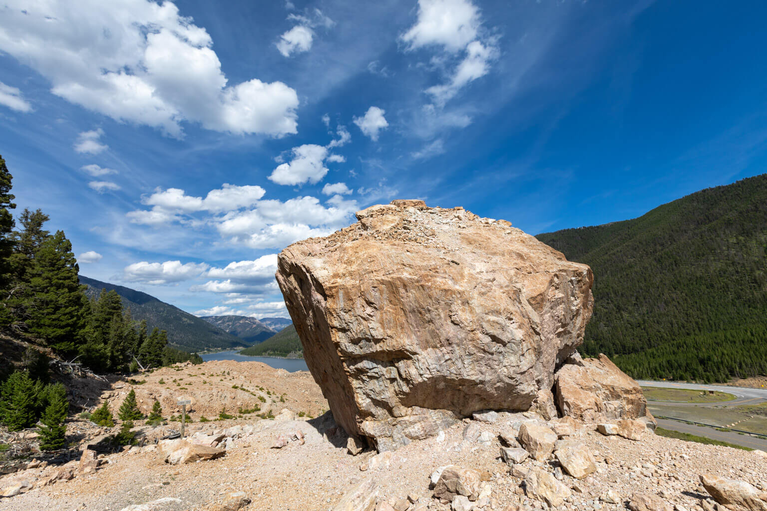
  • A large boulder sits on rocky terrain with green forests, a river, and mountains in the background under a blue sky with scattered clouds.
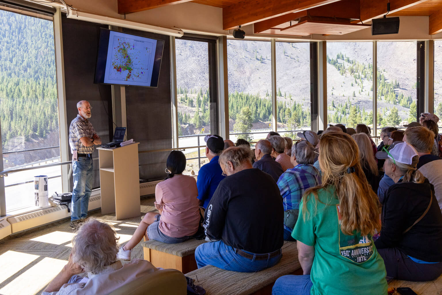
  • A man gives a presentation to a seated audience in a room with large windows; a map is displayed on a screen, and mountains and trees are visible outside.
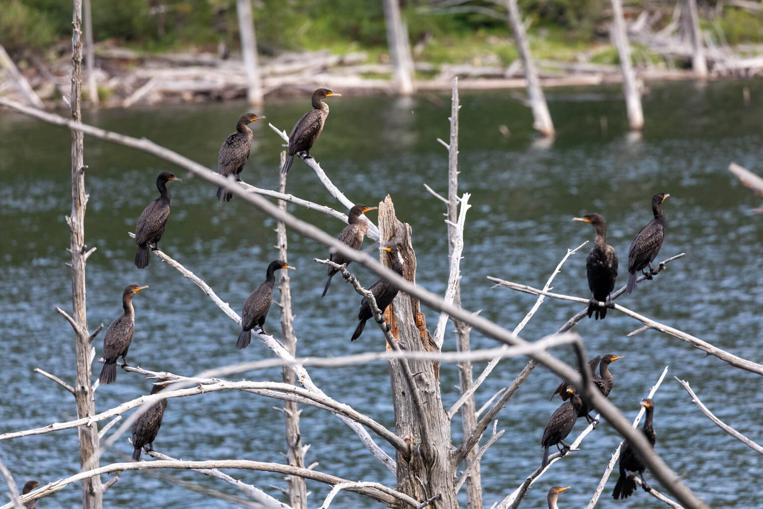
  • Several dark-colored birds perch on bare, white branches above a body of water, with green foliage and fallen tree trunks visible in the background.
  • A person reads a wall display in a museum with exhibits about earthquakes, natural disasters, and a memorial Boulder, with informative panels and photos on the walls.
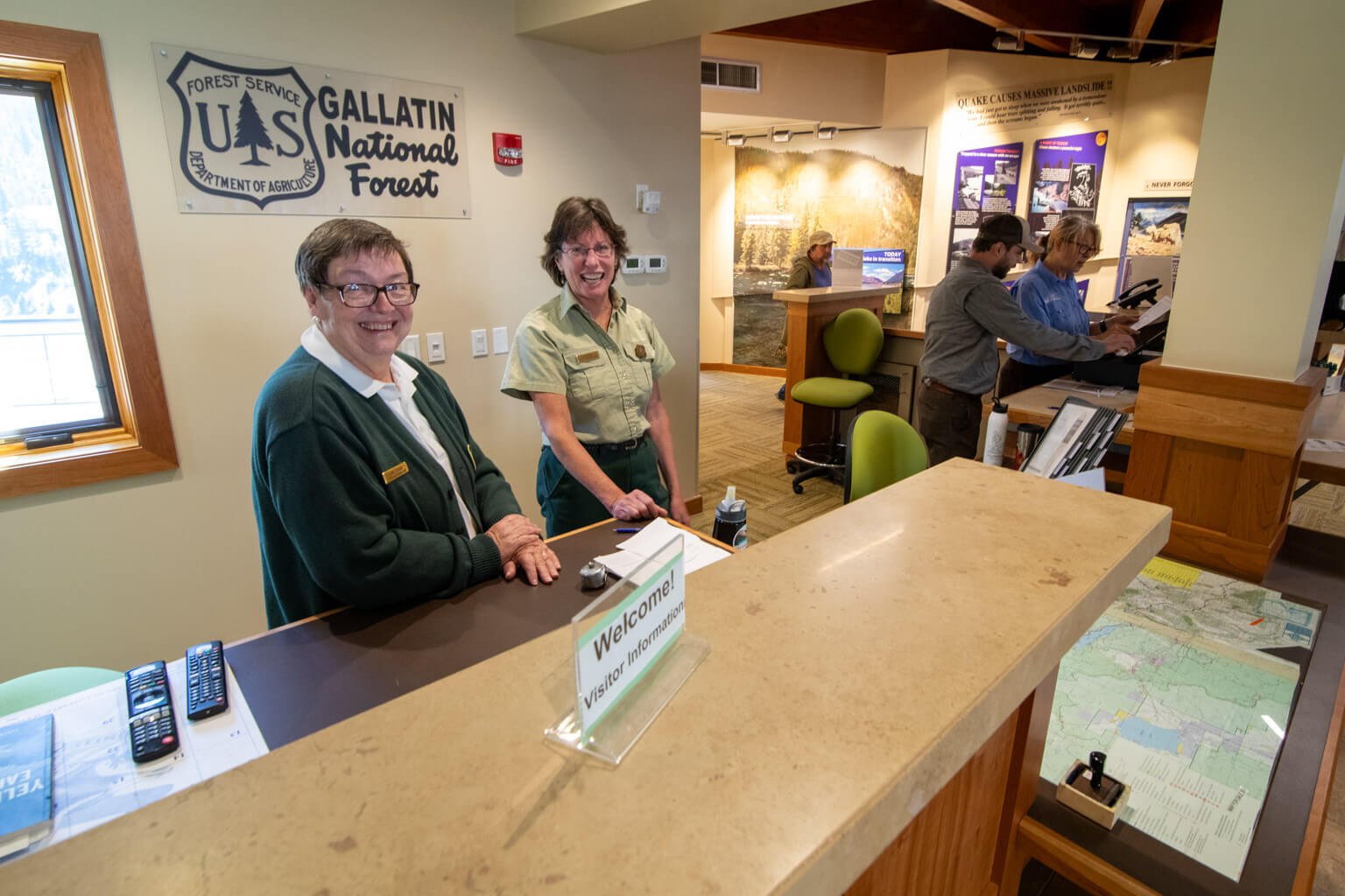
  • Two forest rangers smile behind an information desk at Gallatin National Forest Visitor Center. Maps and brochures are on the counter; visitors receive assistance in the background.
  • A woman takes a photo in a museum exhibit about earthquakes, featuring educational posters, diagrams, and a seismograph display on the wall.
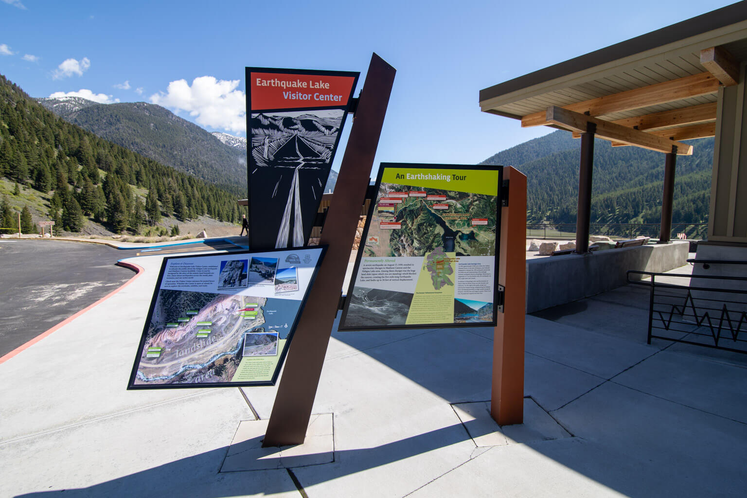
  • Three informational signboards stand outside on a walkway with mountains and trees in the background, next to a building. One sign reads Earthquake Lake Visitor Center. The sky is clear and sunny.
  • An older man holding a hat looks at a seismograph display in a museum, surrounded by educational earthquake posters and information on the walls.
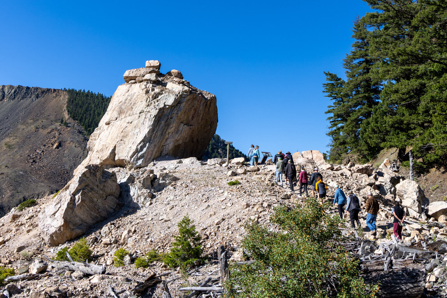
  • A group of people hike up a rocky mountain trail next to a large, jagged boulder under a clear blue sky, surrounded by pine trees and rugged terrain.
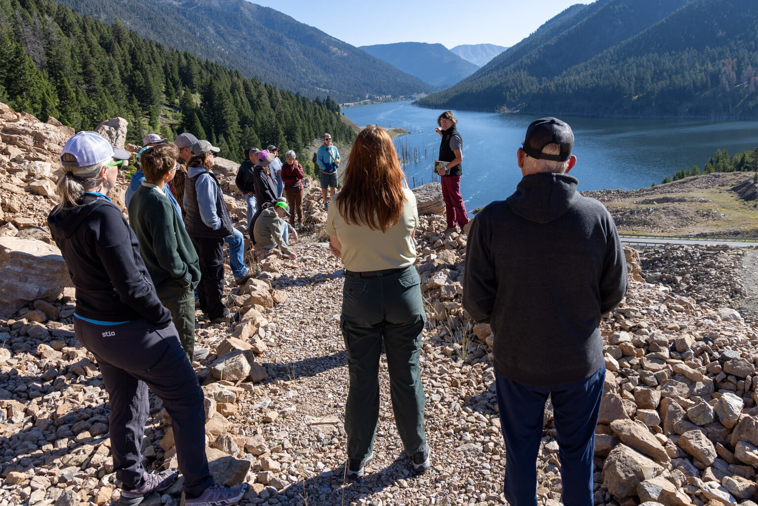
  • A group of people stands on rocky ground near a lake surrounded by forested mountains, listening to a person speaking at the front. The weather is sunny and clear.
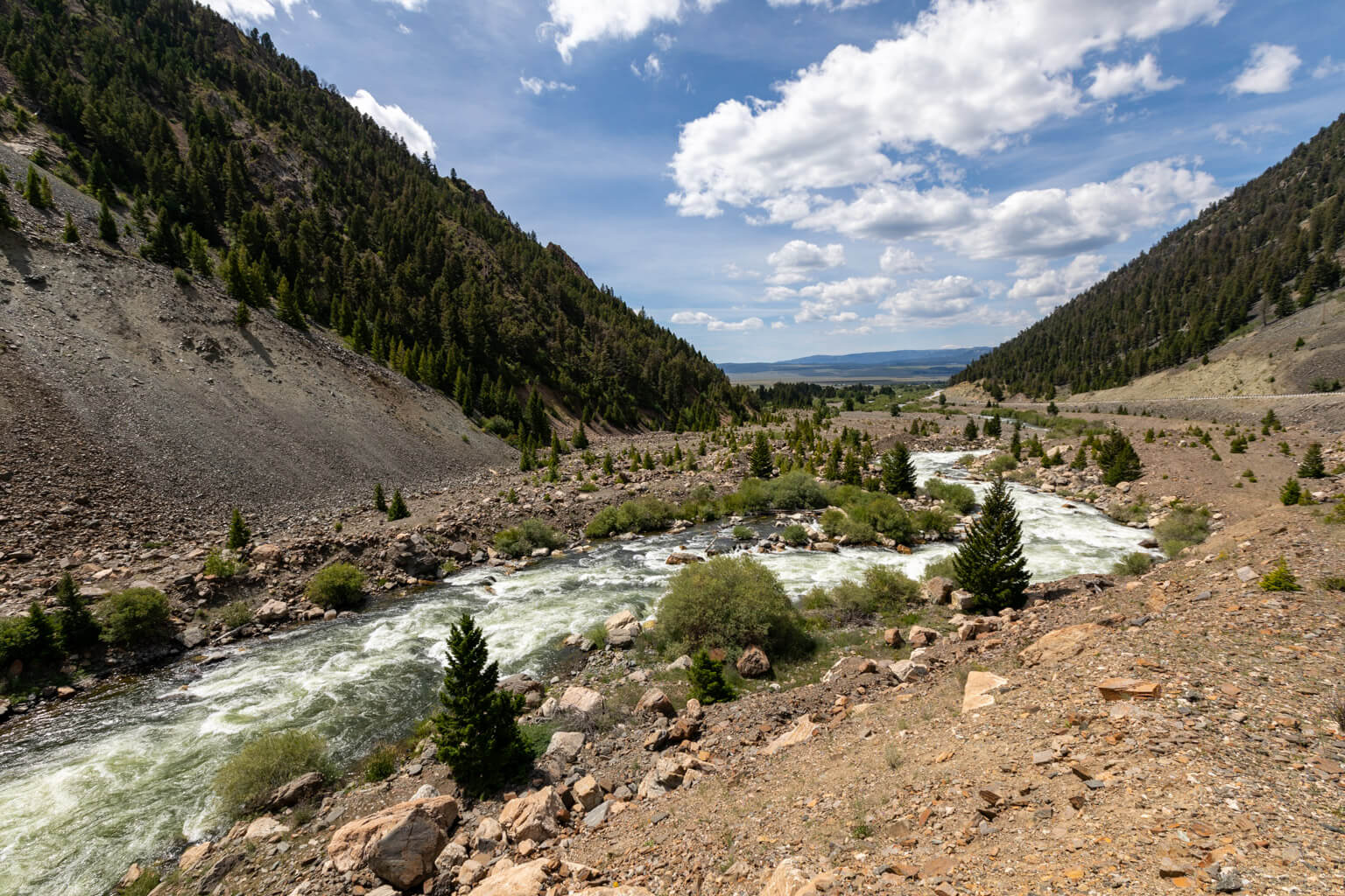
  • A fast-flowing river winds through a rocky valley surrounded by tree-covered hills under a partly cloudy sky.
  • A lake with many standing dead trees in the water, surrounded by green pine trees and grassy land along the shore, with forested hills in the background.
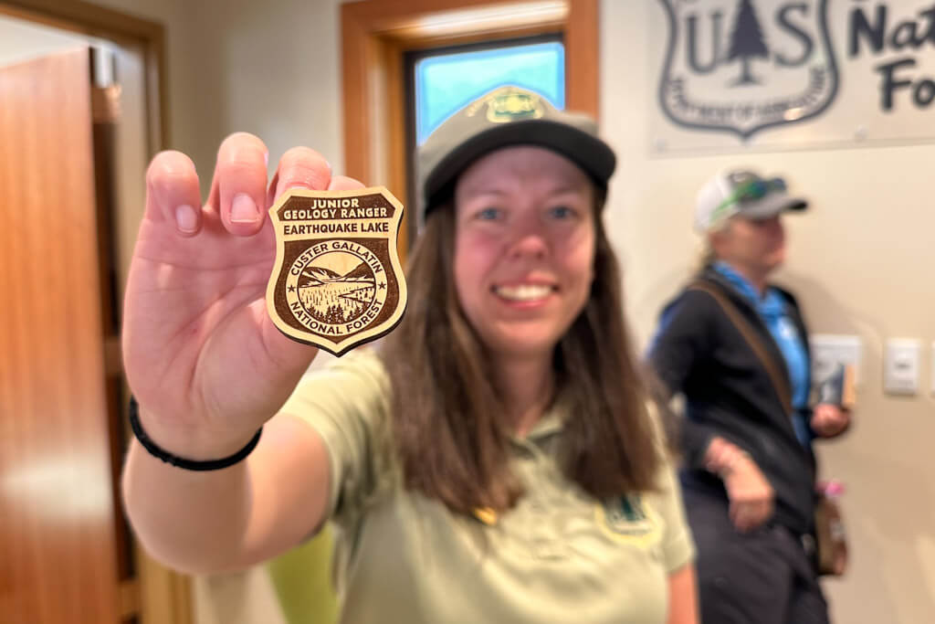
  • A smiling person in a ranger uniform holds a Junior Geology Ranger, Earthquake Lake badge toward the camera. Another person stands in the background near a wall sign for the National Forest.
  • A large boulder sits among smaller rocks near a paved path, with pine trees and mountains in the background under a clear blue sky.
  • A person with short brown hair and glasses stands facing a large memorial plaque mounted on a rock, reading the engraved text in sunlight.
  • A winding paved path with sharp curves descends a rocky slope, bordered by trees and mountains under a blue sky with clouds. Several cars are parked in a lot below.